UBIÑAS
PYRENEES
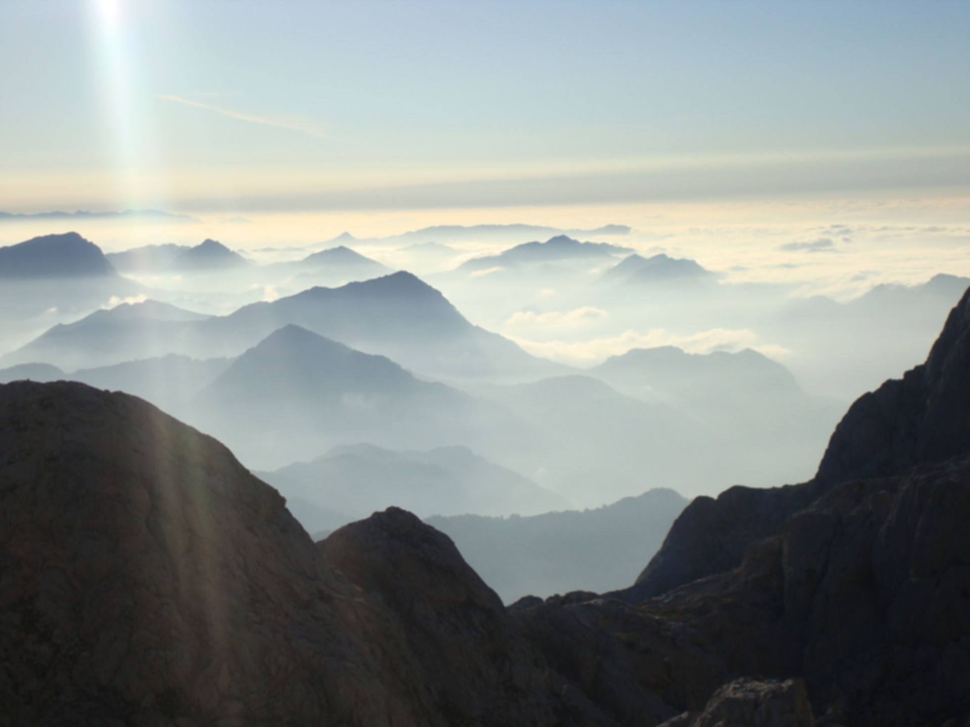
ALPS
Picos de Europa
MAMPODRE
NEPAL
ATLAS - MOROC
TMB - TOUR MONT BLANC

For ten days, we will travel one of the mountain routes that can not miss in the backpack of every mountaineer, bypassing the highest summit of all the Alps and Western Europe, and cradle of Alpinism, Mont Blanc.
The Tour of Mont Blanc is a medium-mountain route that is demanding for its length and duration, whose maximum altitude reaches 2,700 meters, but suitable for anyone who is accustomed to trekking for several days on mountainous terrain. At the end of each stage, we will stay in the emblematic mountain refuges that surround this magnificent mountainous massif, from which we will enjoy spectacular views of the mythical peaks, gorges and corners of the massif, such as the Dent du Gent, Bionnassay glacier , The Great Jorasses , the Aiguille du Midi, the Glacier of Bossons, the Aiguille Verte, the Drus , the ridge of Peuterey, the Aiguille of Chardonnet, the Aiguille of Argentiere, the Mer de Glace ...
Program:
Meeting point: Chamonix, France. Duration: 11 days.
Day 1: On the first day we will set up a meeting point in Chamonix, the birthplace of Mountain climbing and mountain village of world reference, where we will spend our first night before starting our trekking, in the hostel of the UCPA . Throughout the day, we will comment on the development of the trekking, review the material, the basic safety standards, in addition to visiting this beautiful locality.
Day 2: From Chamonix, drive to Les Houches (1,008m), starting point and arrival of the trekking. We start the Tour of Mont Blanc in Les Houches (1,008m), And we will turn around Mont Blanc in an anti-clockwise direction. We head for the Col de Voza (1,653m) from where we continue to ascend, near the Mont Blanc train route, to Bellevue, where we are waiting for magnificent views of the Massif de las Aiguilles Rouges. We continue climbing up to the Bionnassay Glacier , the first of those we will see during this trekking, and we continue ascending until the Col du Tricot (2,120m), the highest step of the day. We still have to descend to the refuge of Miage, to face a new ascent to the Refuge of Truc (1,720m), Where we will spend our first night of trekking.
Distance: 16 km. Ramp: + 1,411 m. - 723 m.
Day 3: We start the day with a long descent towards the village of Les Contamines (1,164m). From here, we ascend progressively, passing through the shelters of Nant Borrant and La Balme, to the mythical Col du Bonhome (2,329m) However, the climb does not end here, as we have yet to gain a few more meters until reaching the Col de The Croix de Bonhomme (2,483m), Where you will find the Croix de Bonhomme Refuge (2,433m), where we will enjoy a well-deserved rest.
Distance: 17 Km. Ramp: + 1,384 m. - 647 m.
Day 4: From the Refuge de la Croix de Bonhomme, we begin the day with a steep descent, passing by the Chalets de la Raja (1,790m), towards Les Chapieux (1,554m). Where we start an ascent to the Ville des Glaciers (1,789m), just over a kilometer from the Refuge des Mottets (1,870m) where we will replenish forces to begin a prolonged ascent, which concludes in the Col de la Seigne (2,516m ), Excellent viewpoint towards the summits, edges and glaciers of the southern area of the Massif. Once in Italian territory, we begin the descent and in a short time we will have arrived at Elisabetta Soldini refuge (2,035m), Located under the Glacier of the Lex Blanche and place where we will spend our third night of trekking.
Distance: 18 Km. Ramp: + 985 m. - 1,268 m.
Day 5: Shortly after starting the day, we will be on Lake Combal (1,975m), From where we will ascend towards the chalet of l'Alpe supérieure de l'Arp Vieille (2,303m) To then go down to the Col Chécroui (1,956m), Place with impressive views towards the majestic P euterey ridge , leading to the summit of Mont Blanc. We can also see Le Dent du Geant or the Grandes Jorasses , among many other mythical and grandiose mountains. From this excellent viewpoint, we will descend to the beautiful Italian village of Courmayeur (1,220m), which we leave behind to enter a forest where, as we ascend, we will approach Le Pré, where the Bertone Refuge (1,970m), Where we will spend the night.
Distance: 20 Km. Ramp: + 1,253 m. - 1,465 m.
Day 6: Accompanied by truly spectacular views, we will ascend the Mont de la Saxe towards Testa Bernarda (2,534m), With magnificent views towards the southern slopes of the Grandes Jorasses . From here, we go to the Col du Sapin (2,436m) And then encircle the Tête between deux Sants, through the Pas Entre-Deux-Sauts (2,524m), Then go down the upper Alpe de Malatra until Lavachey (1,642m) , Running through the valley bottom, to Arnuva . From here, we will still have a climb of 300 meters of altitude to Elena Regufe (2,062m), Which besides giving us a beautiful view of the Pre de Bar Glacier .
Distance: 16 Km. Ramp: + 652 m. - 573 m.
Day 7: Our fifth day of trekking will take us to Swiss lands. So that you have to save the short one that takes the Grand col Ferret (2,537m). To our left we leave the Mont Dolent , top in which converges Italy, France and Switzerland. From here, we have a long descent until we reach the village of la Fouly (1,600m). Continue on a long route along the left bank of the river Drance de Ferret that will take us to the villages of Prayon, first, Praz de Fort, then, finally Issert (1,055m). From Issert you have to climb back up the wooded terrain, a little over 400 meters, which brings you up to Champex (1,470m), a nice place to vacation with a small lake. From here there is only one walk to the Relais d'Arpette (1,640m).
Distance: 28 km. Ramp: + 1,053 m. - 1,590 m.
Day 8: We have another demanding day ahead that will take us to the highest point of the whole trekking. This will happen at the moment of crossing the Col de la Fenêtre d'Arpette , (2,671m). In order to win this pass we must ascend the whole Val d'Arpette, but the effort is worth it and once arrived at the hill, it appears before our feet the Glacier du Trient . Then, a long and steep descent, leads us to the Prize du Bisse (1,583m). Here we start a second climb, also of steep slope, although after passing Les Grands, this is softened. We finish at Col de Balme, (2,191m), border point between Switzerland and France and dream scenario, with Chamonix again in sight.
Distance: 15 km. Ramp: + 1,720 m. - 1,156 m.
Day 9: The last two stages of the trekking, relatively mild for what we are already accustomed to, will travel through the Massif Des Aiguilles Rouges , a massif that still keeps some of the most beautiful views of the trekking. We start with a descent, down to the small village of Tré-le-Champ (1,417m), located about 2 km of Argentiere . We return to the Col des Montets, and then to the Aiguilles Rouges massif, by the Grand Balcon Sud, enjoying beautiful views. We finish the stage in the Refuge Flègère (1,877m), perfect place to contemplate the Mér de Glace , huge glacier that descends from the very heart of the Mont Blanc Massif.
Distance: 16 km. Ramp: + 1,123 m. - 1,259 m.
Day 10: And so we reached the last stage, the last 20 km. Which will return us to our starting point. We face the last climb, which leads us first to the Col du Brévent (2,368m), and then to the summit of the same name (2,526m), where we return to delight with a magnificent view over the Mont Blanc Massif And the valley of Chamonix, and the glaciers of Bossons and Taconnaz , which descend directly from the top of Mont Blanc. We only have a vertiginous descent that, passing through the shelter of Bel Lachat (2,136m) and the animal reserve of Merlet (1563m), leads us to les Houches, the final point of our spectacular trekking. Without a doubt, one of the most beautiful in the world. From Les Houches , we head to Chamonix , to enjoy a deserved rest in the hostel of the UCPA.
Distance: 19 Km. Ramp: + 650 m. - 1,550 m.
Day 11: Breakfast and end of our trekking.
Total Distance: 165 Km. Total Ramp: + 10,231 m. - 10,231 m.
Included:
-
Mountain Guide entitled with UIMLA accreditation.
-
Have nights of accommodation in shelters / shelters.
-
Have half-board (dinner + breakfast) in shelters / hostels.
-
Collective safety material.
Not Included:
-
Transportation.
-
Any other item not mentioned as included.
Notes:
-
In the refuges you can buy picnics for each day, avoiding to load with weight.
-
There are blankets in the refuges. With carrying a thin sleeping bag or a bed sheet bag, is enough.
-
Trekking may suffer alterations depending on the weather, availability in refuges and / or other kind of circumstances, always thinking about the safety of the group.
-
It is essential to be in possession of a federative license or accidents insurance including rescue and evacuation, that covers the activity.
Price: € 1,100 * (VAT included). * Price per person
Group of 6 to 10 people
Picos Outdoor only gets profit from guiding service